

Glossary | Maps | Map features | Map features | Satellite image
A satellite image is a digital photographic image.
Satellite image
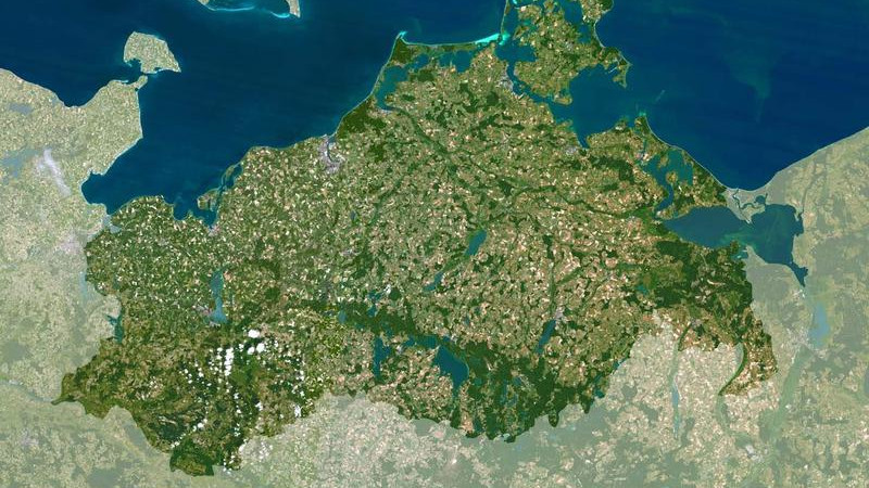
A satellite image is a digital, photographic image of the Earth or parts thereof. Satellite images are produced by sensors installed on satellite platforms.